The International Civil Aviation Organization (ICAO) has nominated 7 states to oversee the provision of air navigation services over the North Atlantic. These countries are the United Kingdom, Iceland, Canada, Norway, the United States, Denmark and Portugal.
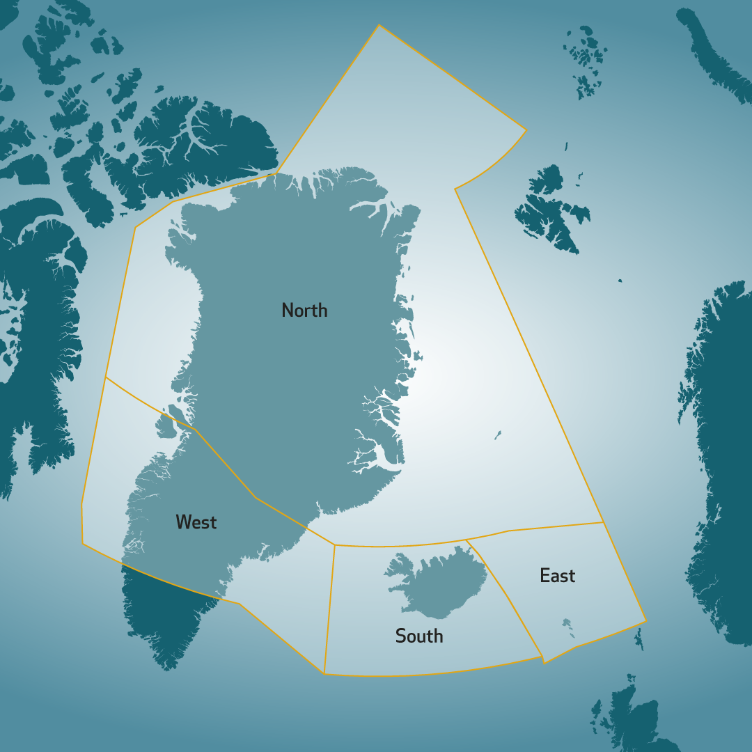
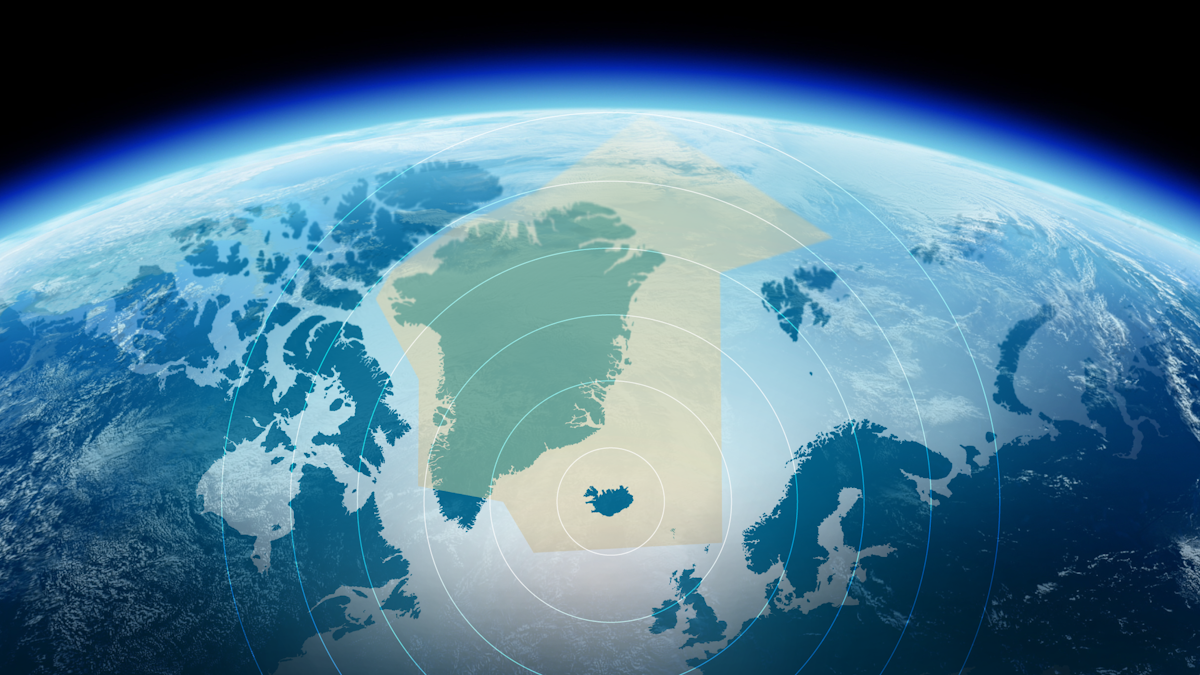
The Icelandic flight information region (FIR) is called BIRD. This FIR, along with the upper flight levels of the Greenlandic Nuuk FIR north of 63˚30"N, spans from 61°N to the North Pole and from 76°W until 30°E and together they make up the Reykjavik Control Area (CTA). The lower flight level limit of the control area is changeable, from sea level within the BIRD FIR up to 20,000 feet over the Nuuk FIR. There is no upper flight level limit.
A quarter of all air traffic travelling over the North Atlantic goes through the Reykjavik CTA which is run by Isavia ANS.
Air navigation service provision within the Reykjavik CTA uses flight data provided by radar, ground and space based ADS-B stations.

Neighbouring flight information region
Neighbouring flight information region are:
- Scotland - Shanwick (EGGX) and Prestwick (EGPX)
- Canada - Gander (CZQX) and Edmonton (CZEG)
- Russia - St. Petersburg (ULLL)
- Norway - Bodö (ENOB) and Norway (ENOR)
Main airports within the Reykjavik CTA
The main airports within the area are Keflavik and Akureyri in Iceland, Vågar airport in the Faroe Islands and Söndreström and Thule airports in Greenland.
